Show land buyers exactly where the lines are.
An aerial video and boundary photos of a land listing, with the county lines drawn on. $49. Free preview first.
Send a land listing. Get an aerial video with the county parcel lines drawn on the real ground, plus boundary photos to lead the listing. Sized for LandWatch, Zillow, Marketplace and Reels.
$49 a property · ready in 24 hours · pay only if you keep it
Make it the first photo of the listing.
A photo of trees can't show where the land starts or stops. The one with the lines can. Each order includes four boundary photos from the same aerial: a three-quarter view, a top-down map with north and a scale bar, a wider area view, and a vertical frame for Stories.
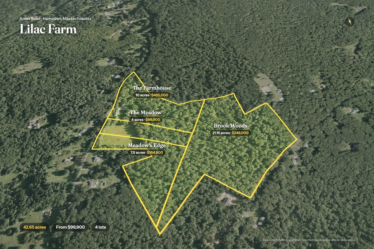
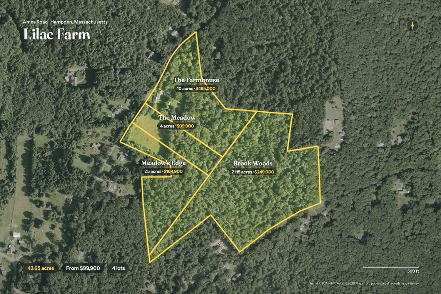
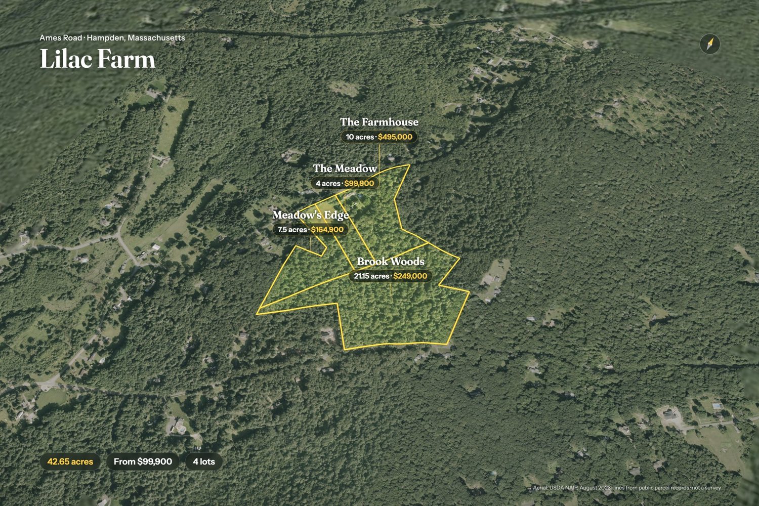
Real properties, real lines.
A four-lot farm split, a 71-acre ranch and a cleared house lot. Each one opens on the land, draws its lines on the real ground, and ends on the price and the facts.
Send a link. Get the lines.
Send the listing
Paste a Zillow, LandWatch or MLS link, or a parcel number with the county. For a new split, send the plat or survey.
We map the ground
We pull the parcel from the county records, lay it on the newest aerial we can find with real terrain, and check the lines against the photo.
Lines from county parcel records or your plat. Not a survey.
Watch, then pay
You get a watermarked preview first. If you like it, pay $49 and download the clean video, boundary photos and property page.
Pay per property. No subscription.
No pilot to book, no flight, no waiting on weather. The lines come from the county parcel record or your recorded plat, checked against the aerial.
The aerial video in both shapes, the boundary photos and a property page.
Start with a free previewor buy nowFor agents and investors listing land every month.
Start with a free previewor buy nowFor land teams, volume investors and developers with a lot list.
Start with a free previewor buy nowPacks are paid when you keep your first preview. Each property gets the full set: the video in both shapes, the boundary photos and a page. Turning the listing photos into video is +$30 on any property (add it here).
Each order starts with a free watermarked preview. Not right? We redo it once. Still not right, you don't pay.
Good to know.
Is this a survey?
No. The lines come from public parcel records, which are a good picture of a property and can be off, sometimes by more than a few feet. Each video and photo says "not a survey" and prints the aerial's date. If you have a recorded plat or survey, send it and we'll draw from that instead.
Which places do you cover?
Anywhere in the lower 48. Where the county publishes parcel lines online, we pull them; where it doesn't, or the lot is a new split that isn't on the county map yet, send the plat, survey or a KML and we'll draw from that.
Can I split a property into lots?
Yes. Send the lot lines, names and prices, and each lot is drawn and labelled in the same film and photos, like the Lilac Farm sample.
Where can I post the video?
Anywhere you market the property: your site, YouTube, Facebook, Instagram, TikTok and Marketplace. For listing sites that take a video link, upload the 16:9 video to YouTube and paste the link.
Can you add the listing photos?
Yes, for $30 more. We turn 3 to 6 of the listing's photos into video and cut them in after the aerial. It works best with strong outdoor photos of farms and homes. Send only photos you have the right to use. Each one carries a small "AI video from the listing photo" label, which California requires for altered listing media.
Can it go on the MLS?
The clean 16:9 video carries no agent name or contact, so it can go in a virtual-tour field that has to be unbranded. MLS rules vary, so check yours. The property page is the branded version for your own marketing.
I already use Land id. Do I need this?
Keep using it. LandReel is done for you: you send a link and get a finished video file, boundary photos and a page back, ready to post, with nothing to draw or edit.
What if I don't like the preview?
Tell us what to change and we'll redo it once. If it still isn't right, you don't pay.
How do the 10 and 25 packs work?
You pay once and send listings whenever you have them over the next 12 months. Each one gets its own preview first.
Get a free preview.
We'll send a watermarked preview within 24 hours. Pay only if you want the clean files.
Already have a preview? Use the "Keep it" button on its page.